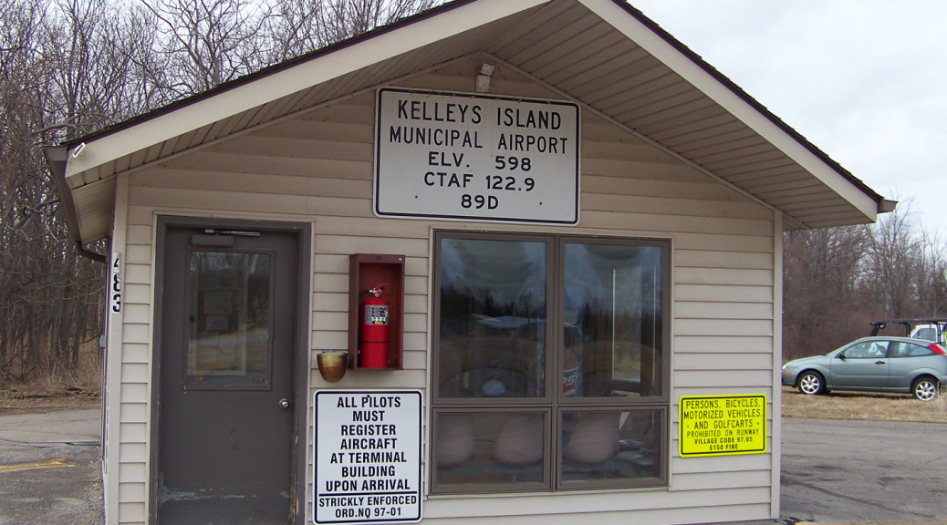
THE KELLEYS ISLAND AIRPORT
Public Notice
Airport Sponsor / Manager / Stakeholder
Attached is a copy of an FAA Aeronautical Study that has the potential to affect your airport. The study is for the proposed installation of a 450-ft Antenna Tower, located approximately 1.6-nautical-miles west of your airport. The proposed project has been determined to exceed 14 CFR part 77 obstruction standards, specifically 77.19 (b) Conical Surface. A surface extending outward and upward from the periphery of the horizontal surface at a slope of 20 to 1 for a horizontal distance of 4,000 feet. The proposed development exceeds this surface by 140-feet as it applies to your airport, as well as additional impacts to your airport.
ODOT ‘s Office of Aviation performs an independent airspace analysis and evaluation of all 7460-1 applications filed with the FAA based on the Ohio Revised Code. As part of our process, we are looking to the Airport Sponsor to provide an opinion on the proposed development and its impact to your airport.
NOTE: The proposed structure sits within 500-ft of a shorter 330-ft AGL structure previously studied.
ACTION: Can you post this notice at your airport, present this issue to your Board, Staff and Users as applicable and keep us informed as to the outcome of any discussions and decisions?
As this development impacts the Airports 77.19 (b) Conical Surface, for compliance with the Ohio Airports Protection Act, ODOT will need a letter from the Airport Sponsor, either for or against the proposed development, including any reasoning used in that decision.
How to Review a Project and Submit a Comment:
Any interested party can review a proposed project by going to https://oeaaa.faa.gov and look up an Air Space Case Study(ASN). When the ASN is known, click the “Search Archives” link on the left-hand column of the site and enter the ASN. When the ASN is unknown, click the “Circle Search for Cases” link on the left-hand column of the site and enter the airport identifierand a radius from the airport in nautical miles.
For Circularized Cases, click the “View Circularized Cases” link on the left-hand column of the site, then select case type “Obstruction Evaluation” and select Ohio from the drop-down menu. Select the proposed project from the list and follow the link to the case study.
If you wish to make a comment, you will need to create an account on OE/AAA to submit a comment online, or you can mail a letter to the address listed in the circularization notice.
If you have any questions, please do not hesitate to contact our office at (614) 466-6804 or Ohio.Airport.Protection@dot.ohio.gov
Airspace Protection Team
ODOT, Office of Aviation
2829 West Dublin-Granville Road
Columbus, Ohio 43235
614.466-6804 | Ohio.Airport.Protection@dot.ohio.gov
Click to view documentation.
Kelleys Island Land Field – Airport Standards and Safety Enhancement Project – September 2026 The Village and the FAA continue to coordinate the Village’s proposed project with various offices of the Ohio Department of Natural Resources (ODNR). The Village is currently conducting an appraisal of the affected parcels of land consistent with the Uniform Appraisal Standards for Federal Land Acquisitions (Yellow Book Appraisal). Following completion of the appraisal process and coordination with the ODNR and the National Park Service, the Village expects to publish its Preliminary Environmental Assessment in Late 2026 or early 2027.
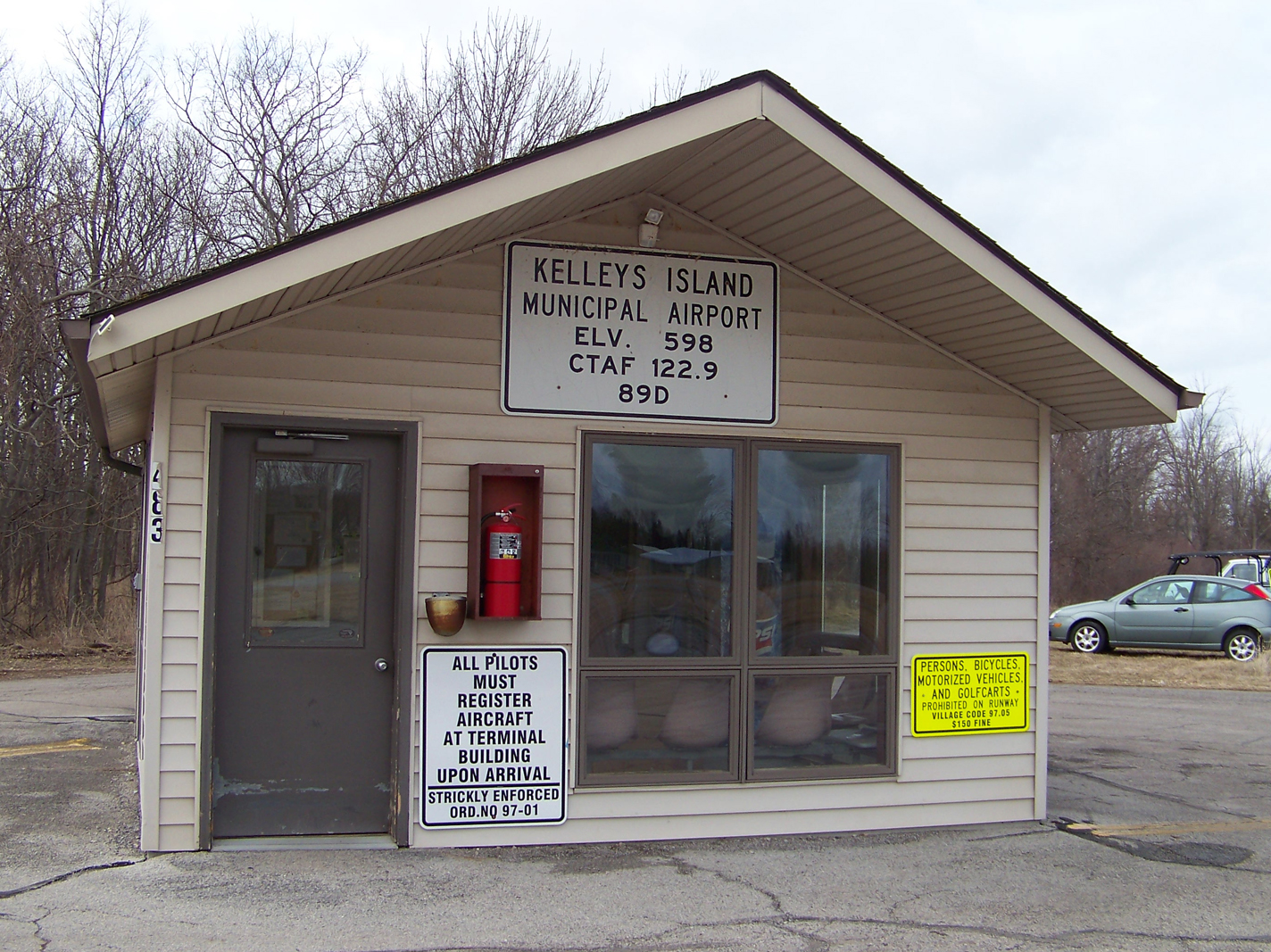
The island’s municipal airport is owned and operated by the Village of Kelleys Island. Information on the airport and its operations can be found below or by calling the Village Office at 419-746-2535, or email: Office@KelleysIsland.us.
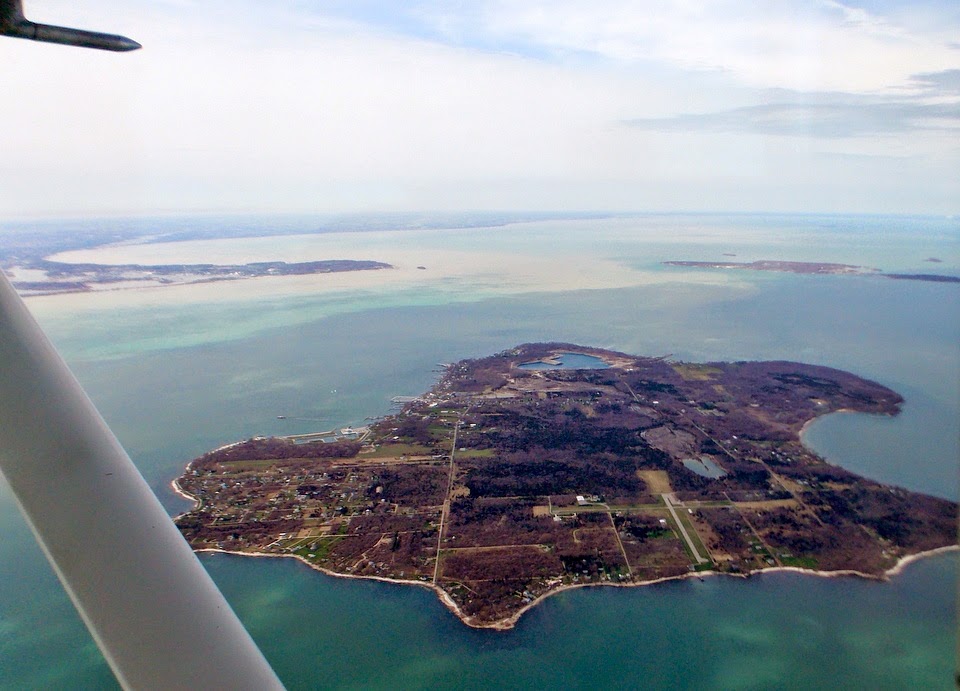

Please note that there is a landing fee for the use of this airport and facilities and the forms and drop box are located inside the airport building.
The North/South runway is permanently closed.
Airport Operations
| FAA Identifier: | 89D |
| Lat/Long: | 41-36-10.1730N / 082-41-04.6500W 41-36.169550N / 082-41.077500W 41.6028258 / -82.6846250 (estimated) |
| Elevation: | 598 ft. / 182.3 m (surveyed) |
| Variation: | 07W (2000) |
| From city: | 1 mile NE of KELLEYS ISLAND, OH |
| Time zone: | UTC -5 (UTC -4 during Daylight Saving Time) |
| Zip code: | 43438 |
| Airport use: | Open to the public |
| Activation date: | 05/1949 |
| Sectional chart: | DETROIT |
| Control tower: | no |
| ARTCC: | CLEVELAND CENTER |
| FSS: | CLEVELAND FLIGHT SERVICE STATION |
| NOTAMs facility: | CLE (NOTAM-D service available) |
| Attendance: | UNATNDD |
| Wind indicator: | lighted |
| Segmented circle: | no |
| Lights: | SS-SR |
| Landing fee: | yes |
Airport Communications
| CTAF: | 122.9 |
| WX AWOS-3 at PCW (10 nm SW): | 118.775 (419-734-9955) |
Nearby radio navigation aids
| VOR radial/distance | VOR name | Freq | Var | |||
|---|---|---|---|---|---|---|
| SKYr356/10.2 | SANDUSKY VOR/DME | 109.20 | 04W | |||
| DJBr307/27.7 | DRYER VOR/DME | 113.60 | 05W | |||
| YQGr177/39.3 | WINDSOR VOR/DME | 113.80 | 06W |
| NDB name | Hdg/Dist | Freq | Var | ID | |||||
|---|---|---|---|---|---|---|---|---|---|
| PORT CLINTON | 066/9.7 | 423 | 07W | PCW | .–. -.-. .– | ||||
| PELEE ISLAND | 189/10.6 | 283 | 05W | PT | .–. – | ||||
| GROSSE ILE | 152/36.5 | 419 | 07W | RYS | .-. -.– … | ||||
| TIFFIN | 043/38.7 | 269 | 05W | TII | – .. .. | ||||
Airport Services
| Parking: | tiedowns |
| Airframe service: | NONE |
| Powerplant service: | NONE |
| Bottled oxygen: | NONE |
| Bulk oxygen: | NONE |
Runway Information – Runway 18/36
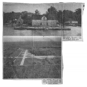
CHECK OUT THIS ‘HISTORIC’ PHOTO of the new airport and the old dock – May 1949. The OLD DOCK at Kelleys Island in service for years is rapidly falling apart. The NEW AIRPORT has runways on a 29 acre field made of crushed limestone.
The Village of Kelleys Island
121 Addison St., Kelleys Island OH 43438
419-746-2535 Office@KelleysIsland.us